
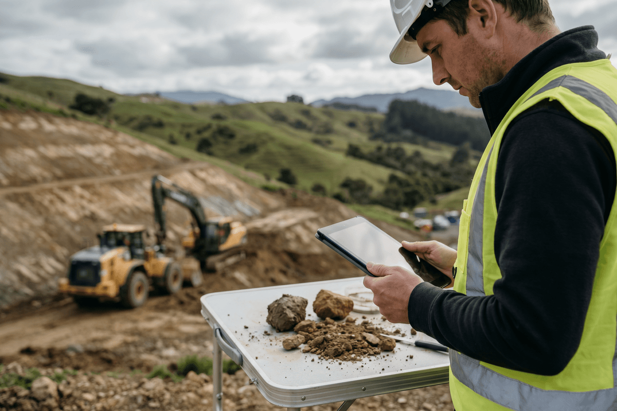



New Zealand’s breathtaking topography comes with a steep price. Geologically young, tectonically active, and frequently battered by intense Pacific weather systems, our landscape is inherently restless. For generations, civil and geotechnical engineers have battled the realities of slope instability. However, as climate change loads the dice for extreme rainfall events—starkly illustrated by the thousands of slips triggered by Cyclone Gabrielle—the engineering profession is recognizing that traditional methods of mitigation are no longer sufficient.
We are currently witnessing a critical pivot in how the industry approaches ground movement. As highlighted in recent insights from Engineering New Zealand on landslides, risk, response, and resilience, local engineers are rapidly developing new tools and forging updated frameworks to better prepare for, rather than merely react to, catastrophic slope failures.
The Evolving Threat Matrix: Why the Ground Rules Have Changed
Historically, landslide management in New Zealand relied heavily on localized geotechnical assessments and deterministic models. Engineers would assess a specific slope, calculate its factor of safety, and design retaining structures based on historical rainfall data. Today, that historical data is losing its predictive power.
The intensity and duration of modern atmospheric rivers mean that soils are reaching saturation points faster and staying saturated longer, fundamentally altering pore water pressures. This shift requires a macro-level understanding of geohazards, integrating complex hydrological data with regional geological mapping.
"We can no longer engineer our way out of landslide risk through concrete and steel alone. The future of geotechnical resilience in Aotearoa relies on predictive intelligence, land-use adaptation, and understanding the entire catchment system."
From Reactive to Predictive: The New Tools of the Trade
The transition toward proactive resilience is being driven by a suite of advanced technologies that allow engineers to "see" the landscape in unprecedented detail. The integration of these tools is creating a more dynamic, real-time picture of slope vulnerability.
- High-Resolution LiDAR: Airborne and drone-based LiDAR (Light Detection and Ranging) is stripping away vegetation to reveal ancient, deep-seated landslides and subtle geomorphological features that indicate impending failure.
- InSAR Technology: Interferometric Synthetic Aperture Radar (InSAR) utilizes satellite data to detect millimeter-scale ground deformation over time, providing early warning signs for slow-moving earthflows before they catastrophically fail.
- Probabilistic Risk Modeling: Moving away from simple deterministic models, engineers are increasingly using machine learning algorithms to run thousands of weather and soil saturation scenarios, generating probabilistic hazard maps that inform better infrastructure planning.
- Digital Twins: By creating digital replicas of vulnerable transport corridors, teams can simulate how different landslide events will impact network connectivity, allowing for optimized emergency response planning.
Redefining Response and Resilience Frameworks
Knowing where a landslide might occur is only half the battle; the other half is integrating that knowledge into actionable frameworks. The latest initiatives spearheaded by New Zealand engineering bodies focus on standardizing how risk is communicated to asset owners, councils, and the public.
One of the major challenges post-disaster is the rapid assessment of slope stability to determine if displaced residents can return home, or if critical lifelines can be reopened. The push is now toward standardized, rapid triage protocols that leverage mobile GIS applications, allowing field engineers to input data that instantly updates centralized hazard dashboards.
Comparing the Paradigms: Then vs. Now
To understand the scale of this professional shift, it is helpful to contrast the traditional approach to slope engineering with the emerging resilience-based framework.
| Engineering Aspect | Traditional Approach | Modern Resilience Framework |
|---|---|---|
| Risk Assessment | Deterministic (Factor of Safety based on historical norms) | Probabilistic (Scenario-based, incorporating climate change projections) |
| Data Collection | Boreholes, localized test pits, visual inspection | LiDAR, InSAR, remote IoT soil moisture sensors, continuous monitoring |
| Mitigation Strategy | Hard engineering (retaining walls, rock anchors, shotcrete) | Hybrid solutions (bioengineering, managed retreat, flexible catch-fences) |
| Asset Management | Fix-on-failure (reactive maintenance) | Predictive maintenance informed by Digital Twins and early warning systems |
The Human Element: Professional Agility and Continuous Learning
Implementing these new frameworks requires more than just updated software; it requires a workforce that is agile, continuously learning, and highly collaborative. As the complexity of our environmental challenges grows, so too does the need for cross-disciplinary knowledge sharing. Geotechnical engineers must now speak the languages of climatologists, data scientists, and urban planners.
Fostering this culture of continuous engagement doesn't always have to happen in formal seminars. Sometimes, it happens through everyday professional camaraderie. For instance, testing your broader engineering knowledge and sparking debate around the lunch table with tools like the latest EG Quiz – Issue 34 from Engineering New Zealand is a small but vital way to keep teams curious, engaged, and thinking outside their immediate silos.
Looking Ahead: Designing for a Dynamic Earth
The reality for New Zealand engineers is that the ground beneath our feet will continue to move. The escalating frequency of severe weather events guarantees that landslides will remain a primary threat to our communities and infrastructure networks.
However, the proactive steps currently being taken by the profession—developing robust predictive tools, advocating for sensible land-use planning, and embracing nature-based stabilization solutions—demonstrate a mature, forward-thinking response. By continuing to refine these frameworks, New Zealand is positioning itself not just to survive its dynamic geology, but to become a global leader in geotechnical resilience. For engineering professionals, the mandate is clear: we must design not just for the landscape we have today, but for the shifting earth of tomorrow.